Point Impossible at a glance
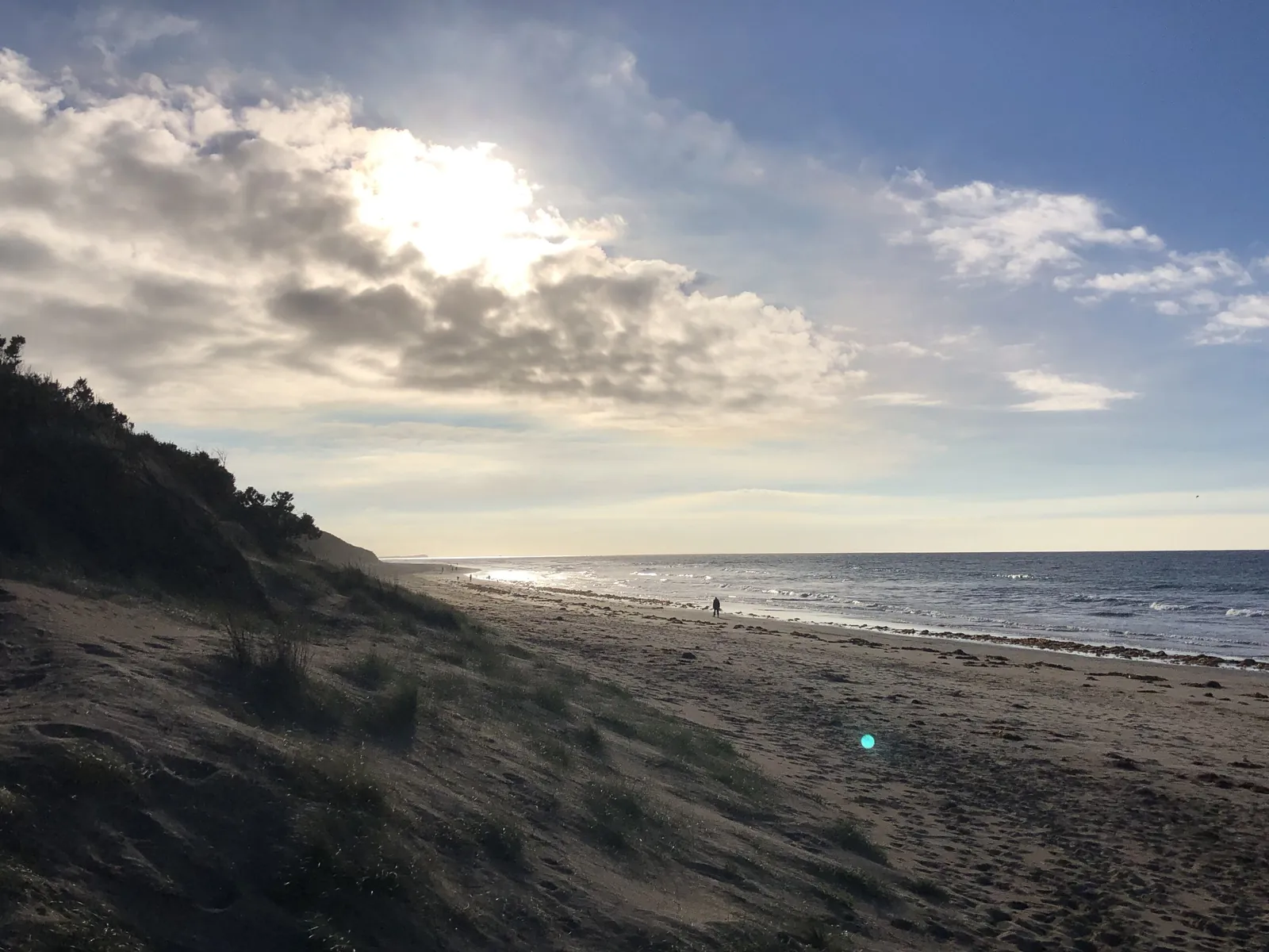
Keep going east along the sand from Whites Beach and you eventually run out of beach. That's Point Impossible, about 5 km north-east of Torquay, where Thompson Creek meets the sea and Breamlea starts on the other side. Locals call it Possos. Its Wadawurrung name is Kurrak Panyul, and the Great Ocean Road Coast and Parks Authority, which manages it, notes that clans gathered here for ceremony and celebration over many thousands of years.
The point itself is low, a bit of calcarenite (a sandy limestone) capped by dunes about 10 m high. There's a big gravel car park on top, a toilet block, a few tracks down to the sand, and not much else. That's most of the appeal. You get a long, open beach, a wide sky and, on a weekday out of season, hardly anyone around.
It's about 10 minutes' drive from north Torquay, so it's the closest proper bit of wild coast to our end of town.
Getting there and parking
By car
From north Torquay, head out along Horseshoe Bend Road, turn right into Blackgate Road, then right again onto Point Impossible Road. It's gravel the last stretch and finishes at the car park on the point. About 8 km and 10 minutes all up.
The two car parks
Surf Coast Shire lists two ways onto this end of the beach: the Point Impossible car park at the 53W beach marker, and the car park at the end of The Esplanade at the 55W marker, a little further back towards Torquay. The Authority says visitor numbers have grown a lot lately, with overcrowding at busy times, so come early or late in summer.
On foot
You can walk it. From the eastern end of Whites Beach it's a long stroll on the sand or the trail behind the dunes, about 4.5 km and a bit over an hour from Holyhead Drive. Walk out, and get someone to pick you up if your legs are done.
Facilities
Toilets and the car park, and that's it. There's no shower, no kiosk and no shade, so bring water and anything you'll want to eat. Camping isn't allowed, and the Authority has called out illegal camping and litter as problems here, so take your rubbish home.
The point and the creek mouth
Right in front of the car park is a small pocket of sand, Point Impossible Beach proper, which forms the western side of the Thompson Creek mouth. Beyond the creek, Breamlea Beach runs about 2 km north-east to Noble Rocks. Surf Life Saving's Beachsafe notes a tidal channel and sandy shoals at the creek mouth, and they move around with the tides and the swell. It's a good spot to sit and watch the water, less good for little kids to paddle in.
There's no bridge at the mouth, so if you want to see the Breamlea side, our Breamlea and Lake Connewarre guide has the beach, the wetlands and where to look for birds. It's a separate drive round by road.
Looking the other way, the sand runs south-west all the way back to Torquay. Beachsafe treats this whole stretch as Whites Beach, 4.5 km long, with the Point Impossible end being the quietest part of it.
Swimming and surf
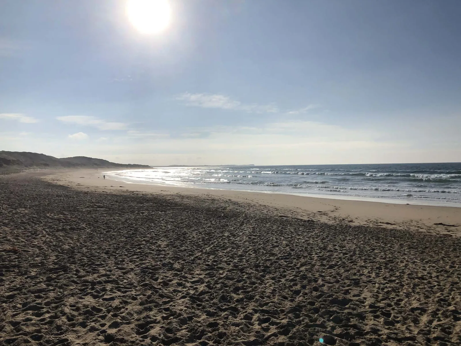
Point Impossible isn't patrolled, and Surf Life Saving rates it 5 out of 10, moderately hazardous. The beach faces south-east and gets some protection from Point Danger and the rock reefs offshore, so waves here average about a metre. Most of the time that makes a shallow, even sandbar. During and after big seas, though, rips cut through it, and that's when it catches people out.
We'd keep it for a wade or a dip on a calm day, and drive into town to swim between the flags at Front Beach or Torquay Surf Beach when there's any size about. Our Torquay beaches guide has which beaches are patrolled and when.
The Authority's own description calls it a great spot for surfing, and it's well away from the town breaks. It's also a long way from help, so surf with a mate. For where the wind suits a kite, see our kite surfing guide.
The clothing-optional area
Part of the beach near the point is a legal clothing-optional beach under the Nudity (Defined Areas) Act 1983. Surf Coast Shire describes it as starting about 350 m south-west of the 53W marker at Point Impossible and running about 1 km south-west towards Whites Beach, from the top of the first dune out to about 100 m past the low-water mark. Either car park gets you there.
In February 2024 the Authority moved the signs, because the old ones (put up more than 20 years earlier) covered over 1300 m instead of the legal 1000 m. So the signed area is now smaller than people may remember. Nudity isn't allowed in the dunes or anywhere on the beach outside the signs. If you're here with kids and would rather avoid it, walk the other way from the car park, or start from Whites Beach and turn back before the signs.
Walking towards Whites Beach
For years the Surf Coast Walk officially started here. In July 2026 the Authority moved the trailhead to Whites Beach East, near the car park at the Torquay end of the gravel road, which takes about 3 km off the official length (it's now around 41 km to Fairhaven). Nothing's been closed, though. The trail and the beach between Point Impossible and Whites Beach East are still open to walkers.
That makes the walk between the two a nice one-way outing. Start at the point, walk back along the sand towards Torquay with the sun behind you in the morning, and finish at Whites. Low tide gives you firmer sand to walk on. Our Surf Coast Walk guide picks it up from there and covers every section to Fairhaven.
Stick to the beach and the formed tracks. The dunes are off limits: the Authority closes them to protect Wadawurrung cultural heritage and threatened plants and animals, and the shire's local law bans walking on them, with fines. Informal tracks through the dunes have done real damage here, and the Authority is working on a masterplan for the area partly because of it.
Dogs and hooded plovers
This is the one that trips people up. Whites Beach closer to town is off-leash, but Point Impossible is a Shorebird Protection Zone, and the Authority's rule here is dogs on a lead at all times. Horse riders need to stick to their permit conditions too.
The reason is the hooded plovers. These small shorebirds nest on the open sand between September and March, and their eggs and chicks are very hard to see. The shire lists Point Impossible as one of its plover exclusion areas, and when chicks hatch the Authority fences off an exclusion zone with signs. No dogs are allowed inside it while the chicks are on the beach, which can be up to 35 days. In early 2024 the Authority reported plovers nesting at the northern end of the beach, and a chick hatched right in the middle of the clothing-optional stretch.
The rest is simple: keep out of fenced areas, walk near the water's edge rather than up by the dunes, and give the birds plenty of room. If you want somewhere the dog can run, head back to Whites Beach. Our dog-friendly Torquay guide has the off-leash beaches and the summer rules.
When to go
Early morning
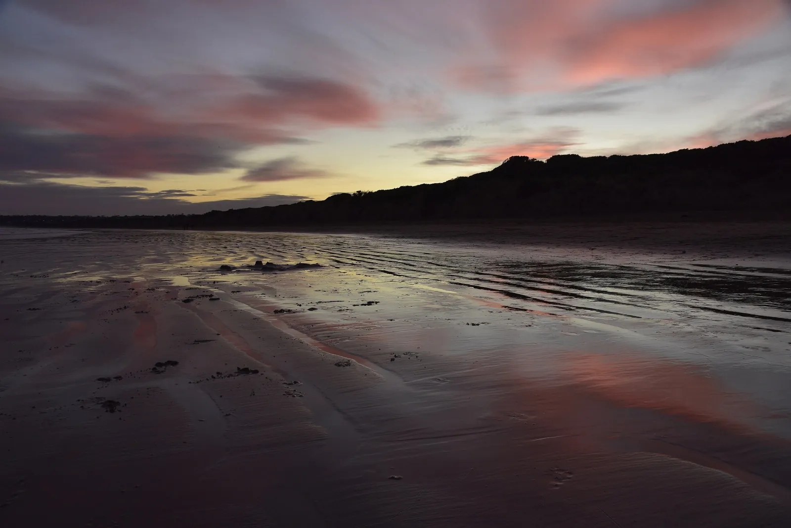
Usually less wind, soft light and a quieter car park. The best time for a long walk.
Summer weekends
Busier than you'd expect for a beach with so little here. Get there early, and remember the plovers are nesting.
Low tide
More firm sand to walk on, and more room between you and the dunes, which is where the plovers nest.
Winter
Grey, windy and often empty. Rug up and walk it anyway. It's a good one for blowing out the cobwebs.
Point Impossible FAQ
Where is Point Impossible?
At the north-east end of Whites Beach, about 5 km from Torquay, where Thompson Creek reaches the sea. Breamlea is on the other side of the creek. It's about 10 minutes' drive from north Torquay.
Is there parking at Point Impossible?
Yes. There's a large gravel car park on the point at the end of Point Impossible Road, and another at the end of The Esplanade, a little closer to Torquay.
Is Point Impossible patrolled?
No. There are no lifesavers here at any time of year, and rips form after big seas. Swim between the flags at a patrolled Torquay beach instead.
Is Point Impossible a nude beach?
Part of it. A signed stretch of about 1 km, starting roughly 350 m south-west of the point, is a legal clothing-optional beach. Nudity isn't allowed in the dunes or outside the signed area.
Can I take my dog to Point Impossible?
Yes, but on a lead at all times. It's a shorebird protection zone for hooded plovers, and dogs are banned from any fenced exclusion zone while chicks are on the beach.
Does the Surf Coast Walk start at Point Impossible?
Not any more. The official start moved to Whites Beach East in July 2026, but you can still walk the trail and the beach between the two.
Walk back along Whites Beach, cross over to Breamlea, or see the rest of the Torquay beaches. Staying in north Torquay? Check dates at Holyday House.
Sources
Facts on this page were checked against these sources on 25 October 2026. Opening hours, patrols, rules and closures change — check with the source before you go.
- Point Impossible (Kurrak Panyul) Masterplan — Great Ocean Road Coast and Parks Authority
- Point Impossible Clothing Optional Beach Signage Realignment — Great Ocean Road Coast and Parks Authority
- Signs Realigned at Point Impossible Clothing Optional Beach — Great Ocean Road Coast and Parks Authority
- Nude beaches — Surf Coast Shire
- Hooded Plovers — Great Ocean Road Coast and Parks Authority
- Celebrating the Arrival of a New Generation of Hoodies at Possos — Great Ocean Road Coast and Parks Authority
- Surf Coast Walk trailhead to relocate to Whites Beach East — Great Ocean Road Coast and Parks Authority
- Where to walk your dogs — Surf Coast Shire
- Point Impossible — Surf Life Saving Australia (Beachsafe)
- Breamlea — Surf Life Saving Australia (Beachsafe)