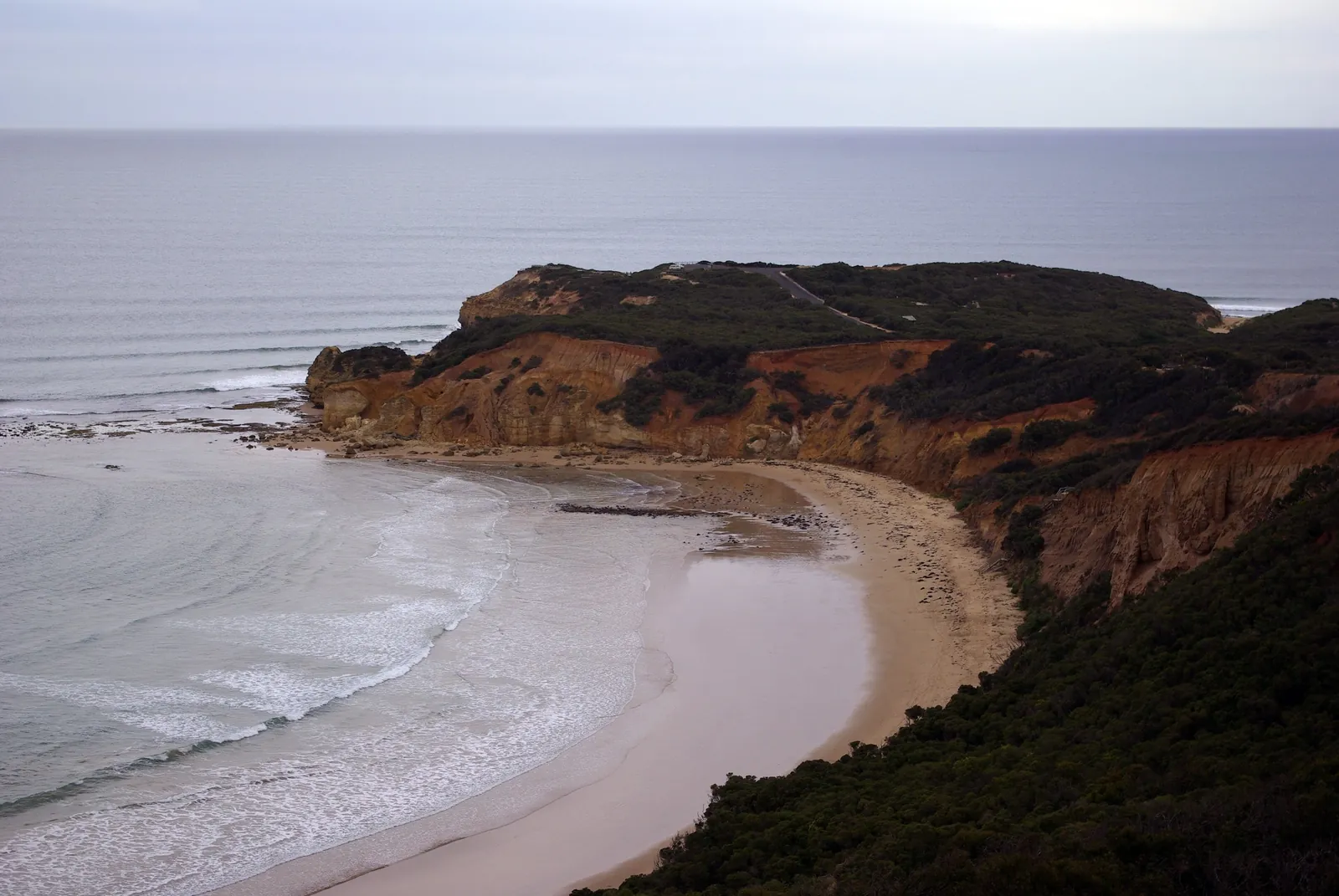
A coastal trail at the end of the street
If you want to see this bit of Victoria's coast properly, walk it. The Surf Coast Walk is a point-to-point trail of a little over 40 kilometres from Torquay to Fairhaven. It goes past Point Danger, Jan Juc, Bells Beach, Point Addis, Anglesea and Aireys Inlet. On the way you get clifftop lookouts, sheltered bush, long sandy beaches and some of the most famous surf breaks in the world.
And from Holyday House, it's about as handy as it gets. According to Visit Great Ocean Road, the first section starts at the eastern end of Whites Beach, and Whites Beach is just 400m from the front door. You can walk out of the house and onto the trail without going near the car.
Hardly anyone does the whole thing in one go. Visit Great Ocean Road reckons the full walk is around ten hours of walking, with roughly 700 metres of elevation gain. Most people pick a section or two, walk them out and back or leave a car at the far end, and spread the trail over a few days of their stay.
The 12 sections
The trail's split into 12 signed sections. The distances below are the section lengths published by Visit Great Ocean Road. Different sources put the total anywhere from 41 to 44 kilometres, depending on where they start and finish, so take the overall number as a rough guide.
| # | From | To | Distance |
|---|---|---|---|
| 1 | Whites Beach East | Yellow Bluff | 2.6 km |
| 2 | Yellow Bluff | Point Danger | 1.6 km |
| 3 | Point Danger | Bird Rock | 3.3 km |
| 4 | Bird Rock | Bells Beach | 3.2 km |
| 5 | Bells Beach | Point Addis | 8.2 km |
| 6 | Point Addis | Anglesea | 7.3 km |
| 7 | Anglesea Riverbank | Anglesea Visitor Centre | 1.6 km |
| 8 | Anglesea Visitor Centre | Point Roadknight | 3.1 km |
| 9 | Point Roadknight | Urquhart Bluff | 4.5 km |
| 10 | Urquhart Bluff | Sunnymead | 3.0 km |
| 11 | Sunnymead | Aireys Lighthouse | 2.8 km |
| 12 | Aireys Lighthouse | Fairhaven | 2.1 km |
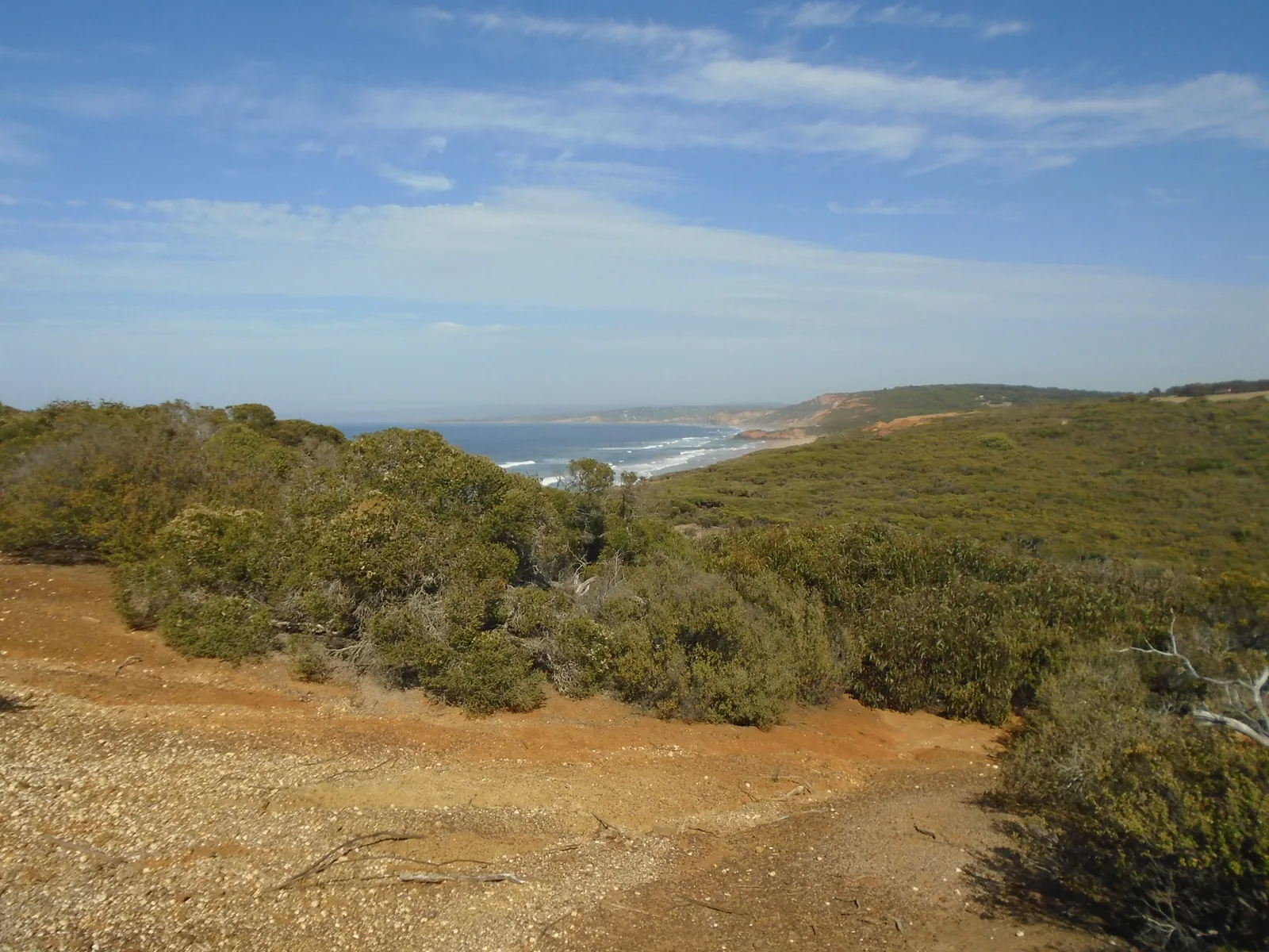
The Torquay end, bit by bit
The first five sections are the easiest to get to from Holyday House, and between them you get all the classic Surf Coast scenery.
Whites Beach to Point Danger (4.2 km)
An easy start. From the eastern end of Whites Beach, the trail follows the foreshore into Torquay, past Yellow Bluff, to the headland at Point Danger. It's flat and easy. Good for an early-morning walk, or a stroll to a café. You walk out from the house, so there's no car to sort out.
Point Danger to Bird Rock (3.3 km)
This is where the coast starts to climb. The trail heads up onto the clifftops between Torquay and Jan Juc, with big views back over town and out to sea. Locals walk this one a lot, and it's a good pick if you've only got an hour or two.
Bird Rock to Bells Beach (3.2 km)
Clifftop walking all the way to Bells Beach and its famous wave. Time it with a decent swell and you can watch the surfers on the Bells reef from the lookouts. Our Bells Beach guide has more on the break itself.
Bells Beach to Point Addis (8.2 km)
The longest section, and plenty of walkers' favourite. The trail climbs out of Bells, goes past the Southside car park and heads inland through the sheltered forest of the Ironbark Basin, then comes out at the Point Addis lookouts. Parts can close for repairs, so check Parks Victoria for current closures before you go.
Point Addis to Anglesea (7.3 km)
Wilder country, through heathland in the Great Otway National Park, ending at Anglesea. In spring the heath along here puts on one of the best wildflower shows on the whole trail.
Past Anglesea, the walk keeps going by Point Roadknight, Urquhart Bluff and Sunnymead to the Split Point Lighthouse at Aireys Inlet, and finishes at Fairhaven. Those sections are about a 20–30 minute drive from the house. Pair one with lunch in Anglesea or Aireys and you've got a good half-day out.
Short walks from the house
Not every day has to be a hike. These are easy ones straight from Holyday House:
Walking with dogs
Holyday House is pet friendly, and so is a lot of the Surf Coast Walk. But the rules change as you go, so check before you head off.
Leashes in town
Surf Coast Shire requires dogs to be on a leash in all public places in township areas, unless it's a designated off-leash area. Even off-leash, your dog has to be under effective control and come back when called.
Summer beach rules
Over summer and Easter, some of the popular beaches have time-share rules that keep dogs off the sand during the day. Check the council's dog regulations map, or the signs at each beach access.
National park sections
West of Bells, the trail goes through the Great Otway National Park, and the rules vary from site to site. The walk is promoted as dog-friendly on a leash, but dogs generally aren't allowed in national parks, and some sensitive areas don't allow them at all. Check the Parks Victoria page for the section you're planning to walk.
Hooded plovers
These threatened little birds nest on the beach and breed along this coast, including at Whites Beach and Point Addis. Stay out of the fenced or signed zones and keep dogs well away.
There's more on dog-friendly beaches, cafés and walks in the dog-friendly Torquay guide.
Staying safe on the trail
Cliff edges
A lot of the trail runs along unstable sandstone and limestone cliffs. Stay on the marked track, stay behind the barriers, and keep kids and dogs close at the lookouts.
Tides
Some sections drop down onto the beach and are best done at low tide. Check the tide times before you set off, and don't get stuck between the water and the cliffs.
Snakes
Snakes are out and about in the coastal heath in the warmer months. Wear enclosed shoes (not thongs), stay on the track and give any snake plenty of room.
Heat, sun and fire danger
There's not much shade on the clifftops. Carry water, start early in summer, and on hot days check VicEmergency for fire danger ratings and park closures.
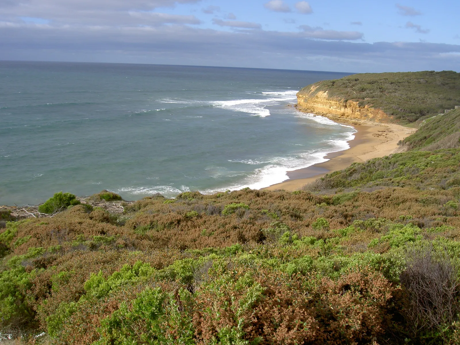
When to walk
Spring
Probably the best time. The heath around Anglesea and Point Addis is full of native wildflowers and orchids, and it's mild enough for the longer sections.
Autumn
Settled weather, fewer people than summer, and often a good swell at Bells. Great for watching the surf from the clifftops.
Winter
Cold, windy and pretty spectacular. Winter's whale season along this coast, and the clifftops above Bells and Point Addis are good spots to look. Then come home to the wood fires and the hot tub. The spa getaway guide has ideas for a winter stay.
Summer
Long days, and a swim at the end. Walk early or late to dodge the heat, and expect the car parks at Bells and Point Addis to be busy.
Getting back
The Surf Coast Walk goes one way, so you'll need a plan for getting back. The easiest options:
Surf Coast Walk FAQ
How long is the Surf Coast Walk?
A little over 40 kilometres from Torquay to Fairhaven. Sources say anywhere between 41 and 44 km. Visit Great Ocean Road estimates about ten hours of walking for the full trail.
Where does the Surf Coast Walk start?
The first section starts at the eastern end of Whites Beach in Torquay, 400m from Holyday House. It finishes at Fairhaven, past Aireys Inlet.
What's the best short section?
Point Danger to Bells Beach (via Bird Rock). It's about 6.5 km along the clifftops and finishes at the famous surf break. For something flatter, walk from Whites Beach into Torquay.
Can I walk the Surf Coast Walk with my dog?
On a leash, on lots of sections. The rules vary in the national park areas west of Bells, and some sensitive areas don't allow dogs at all. Check Surf Coast Shire and Parks Victoria for the section you're planning.
Is the trail OK for kids?
The Torquay foreshore sections are flat and easy. The clifftop sections are fine for older kids who'll stay on the track, but keep little ones close near the edges. Our family holiday guide has more ideas.
Are any sections closed?
Sections can close for repairs, fire danger or works. Check Parks Victoria for current closures before you go.
Thinking about a walking holiday on the Surf Coast? Check dates at Holyday House. For more ideas, see things to do in Torquay and our Great Ocean Road guide.
Sources
Facts on this page were checked against these sources on 13 October 2026. Opening hours, patrols, rules and closures change — check with the source before you go.
- Surf Coast Walk — Visit Great Ocean Road
- Surf Coast Walk trailhead to relocate to Whites Beach East — Great Ocean Road Coast and Parks Authority
- Where to walk your dogs — Surf Coast Shire
- Bells Beach — Great Ocean Road Coast and Parks Authority
- Great Otway National Park — Parks Victoria