The point in the middle
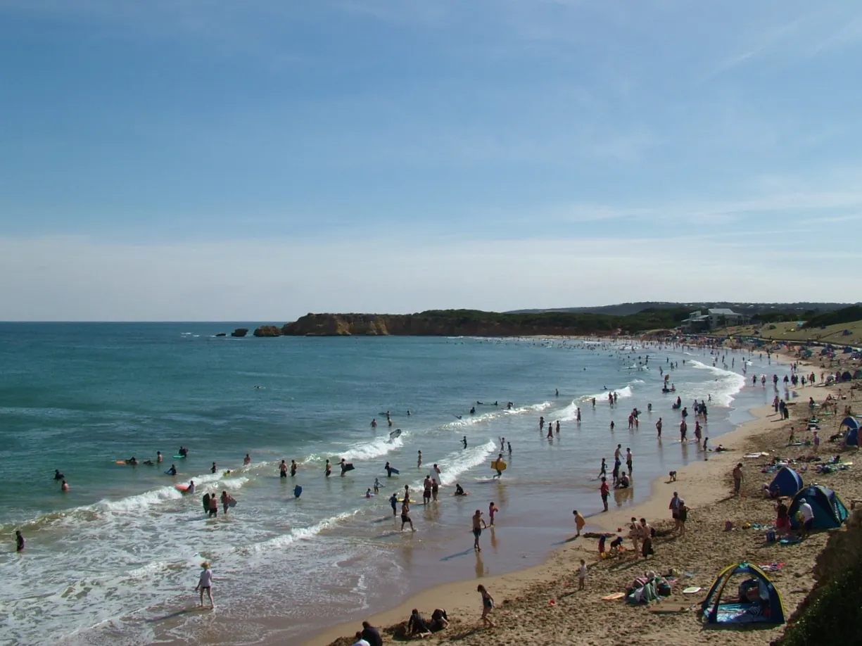
Point Danger is the low limestone headland that splits Torquay in two. On one side, the sheltered water of Front Beach and Cosy Corner. On the other, Torquay Surf Beach and the open coast running off towards Jan Juc and Bells. You'll end up here sooner or later, even if it's only to look.
There's a lookout on top, Torquay's war memorial, a rock platform that comes out at low tide, and a small marine sanctuary around the reef. The Joseph H. Scammell struck that reef in 1891. What you can see now are the anchors on shore, covered in the shipwreck anchors guide. It's an easy hour or two with kids, a good spot for a snorkel on a calm summer day, and a lovely place to stand at sunset and look back along the coast.
From Holyday House in north Torquay it's 5 to 10 minutes in the car. Or walk it: the Surf Coast Walk follows the foreshore from Whites Beach, past Yellow Bluff, all the way to the headland. It's a bit over 4 km and flat the whole way.
The lookout and the memorial
The view
Paths wind around the headland with a few spots to stop and look. North-east, you've got Front Beach curving away towards town. South-west, it's Surf Beach, the clifftops and the coast towards Jan Juc. There's car parking right at the top, so it's an easy one for anyone who doesn't want a long walk. Bring a jacket. It's right out in the weather, and the wind doesn't muck about.
The war memorial
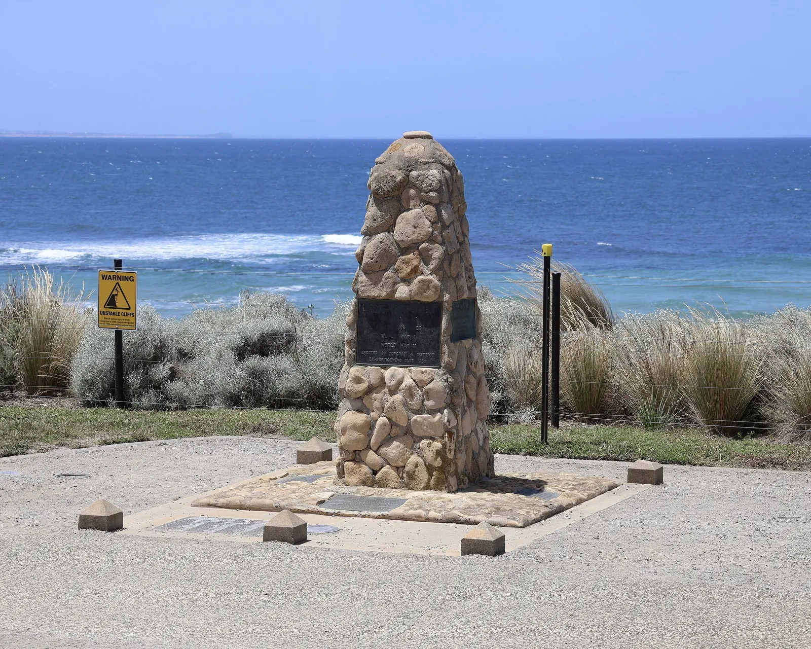
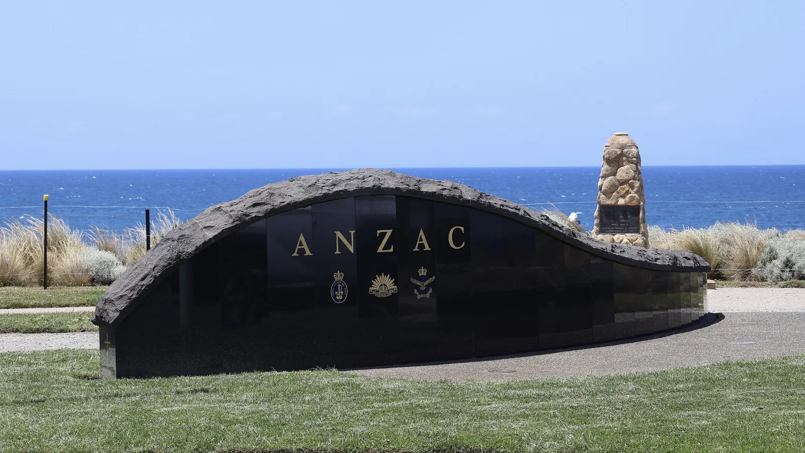
A small stone cairn on a big circle of grass near the edge of the headland, first put up by the Torquay and District Ex-Servicemen's club in 1950. It was taken down in 2004 for a new memorial wall, then rebuilt closer to the edge after the community objected. The plaques cover the two World Wars, Korea, Malaya and Vietnam, among others. It's where Torquay holds its Anzac Day services, so if you're here on 25 April, check local listings for the dawn service time.
Whale season
Southern right whales pass this coast in winter, and the headland is a decent spot to scan for them. No promises. Our Surf Coast Walk guide has the clifftop route on from here if you want to keep looking.
Point Danger Marine Sanctuary
The water around the headland is a marine sanctuary, protected since 2002. Parks Victoria and the Great Ocean Road Coast and Parks Authority put it at about 21.7 hectares, running from the high-water mark around Point Danger out roughly 600 m east and 400 m south. Most of it is less than 7 m deep, but it still cops the open-ocean swell and currents.
It's small, but there's a lot going on. The intertidal limestone platform has 26 species of marine plants, including Neptune's necklace (the little brown beads you'll see everywhere), and more than 44 kinds of invertebrates, mostly living under rocks. Around 96 species of sea slug have been recorded here, many of them found only in this part of the world.
The rules
No fishing, and no taking or disturbing anything that lives here. That includes shells with something in them, crabs and bait. Don't lift boulders, don't walk on the reef patches, and put rocks back the way you found them if you turn one over for a look. Around Point Danger is also a no-dogs zone on the Surf Coast Shire dog map, so leave the dog at the house for this one.
Rock pools at low tide
This is the main event for kids. When the tide drops, the rock platform comes out and the pools fill up with things to find: sea stars, brittle stars, limpets, crabs, mussels and all sorts of seaweed. The reef sits just offshore, often with a sandy channel between it and the beach, and Parks Victoria says it's only fully exposed on the lowest summer tides.
Timing
Check the tide times the night before and aim to be on the rocks an hour or so before low tide. That gives you time to look around and get off before it turns. The tide comes back faster than you'd think, and you don't want to get cut off out on the reef.
What to wear
Shoes with grip. Old sneakers or reef shoes, not thongs. The rock is slippery and sharp in places, and there are things living in the cracks, so watch where you put your hands.
Guided rock pool rambles
Rangers and volunteers sometimes run guided rock pool walks here as part of school holiday programs. They're great with kids and you'll see far more than you would on your own. Check Parks Victoria or the Authority's events page before your trip.
Snorkelling
On a calm day with not much swell, the reef here is a good snorkel. Expect kelp, reef fish, sea slugs and invertebrates. Parks Victoria lists weedy seadragons and dolphins among the common sightings, and eagle rays often cruise over the sand. Summer usually brings the calmest seas.
The catch is the swell. The sanctuary is exposed to southerly and south-westerly swell, and conditions can change quickly. Look at it from the lookout first. If there's whitewater breaking over the reef, it's not a snorkel day. Parks Victoria also warns about strong currents and undertow, so go with a buddy, wear a wetsuit (the water's cold most of the year), and stay close to shore. Diving is for trained, experienced divers only.
Cosy Corner, for a gentle swim
Cosy Corner is the stretch of sand at the southern end of Front Beach, tucked in between Front Beach and the rocks at Point Danger. The headland protects it from south-westerly winds, and as the tide goes out it leaves shallow pools that little kids love. It's one of Torquay's most popular family swimming spots in summer.
It's patrolled in summer too. Visit Great Ocean Road says paid lifeguards cover Cosy Corner on weekdays in December and January, and volunteer patrols cover Torquay's beaches on weekends and public holidays from November to April. Check Beachsafe for this season's days, and swim between the flags. Grab a coffee on The Esplanade and you've got a morning sorted.
A morning at Point Danger with kids
A few safety basics: stay back from the cliff edges and away from their base, keep an eye out for big unexpected waves on the platform, and keep little ones within arm's reach on the rocks. Our family holiday guide has more easy days out.
Point Danger FAQ
When is the best time for rock pools at Point Danger?
At low tide. The reef is only fully exposed on the lowest summer tides, so check tide times and get there before low. Keep an eye on the water so you don't get cut off.
Can you snorkel at Point Danger?
Yes, on calm days with little swell. Summer is usually best. Watch for currents and undertow, go with someone, and wear a wetsuit.
Can I fish at Point Danger?
No. It's a marine sanctuary, so fishing and taking or disturbing marine life are banned. Use the Victorian Recreational Fishing Guide app to check the boundaries.
Are dogs allowed at Point Danger?
Around Point Danger is a no-dogs zone on the Surf Coast Shire dog map. Check the map and signs for nearby beaches, or take the dog to Whites Beach, 400m from the house.
Is Cosy Corner good for kids?
Yes. It's sheltered from south-westerlies, has shallow pools as the tide goes out, and is patrolled on summer weekdays in December and January. Always swim between the flags.
How do I get to Point Danger from Holyday House?
It's 5 to 10 minutes' drive, with parking at the headland. Or walk the Surf Coast Walk along the foreshore from Whites Beach, a flat 4 km or so.
Just over the headland, Jan Juc is the surf beach next door. The Torquay beaches guide compares every beach in town, and things to do in Torquay covers the rest. On a wet day, the surfing museum is a few minutes away. Want a house 400m from Whites Beach and a short hop from the rock pools? Check dates and send us an enquiry.
Sources
Facts on this page were checked against these sources on 14 October 2026. Opening hours, patrols, rules and closures change — check with the source before you go.
- Point Danger Marine Sanctuary — Great Ocean Road Coast and Parks Authority
- Point Danger Marine Sanctuary — Parks Victoria
- Point Danger War Memorial — Australian War Memorial (Places of Pride)
- Point Danger War Memorial: history — Australian War Memorial (Places of Pride)
- Point Danger (Torquay) — Wikipedia
- Front Beach — Torquay Historical Society
- Patrolled beaches — Visit Great Ocean Road
- Dog regulations map: Torquay, Jan Juc and Bellbrae (PDF) — Surf Coast Shire