The hills you can see from everywhere
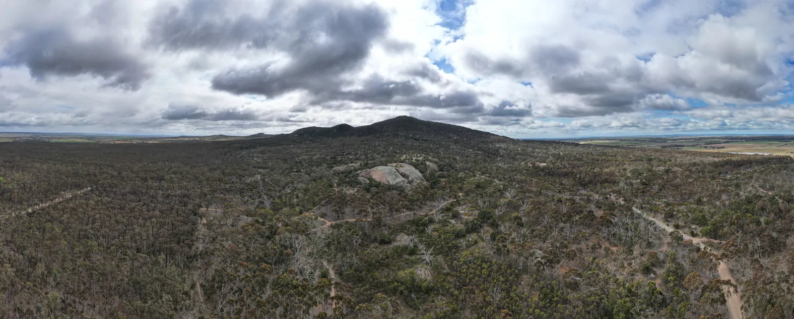
The You Yangs are the granite ranges rising out of the flat plains between Geelong and Melbourne. You'll have seen them on the drive down. Up close, they're a regional park full of boulders, bush tracks and picnic grounds, with koalas in the trees and a summit you can climb in under an hour.
It's about 50 minutes from the house, so it makes a good morning out when the beach is blown out, or an easy add-on to Serendip Sanctuary, which is just down the road. Dogs are welcome on a lead, so the dog can come too.
Getting there
Head up the Surf Coast Highway, take the Geelong Ring Road and then the Princes Freeway towards Melbourne. Turn off at Lara and follow Forest Road to Branch Road. The park entrance is at 5 Branch Road, Little River. It's about 45 km and 50 minutes.
The gates open at 7am and close at 8pm during daylight saving. Check the Parks Victoria page for winter hours. Summer weekends get busy, so arrive early. If the Turntable car park at the base of Flinders Peak is full, park at the Lower Picnic Area and walk up.
Flinders Peak
This is the walk most people come for. It starts at the Turntable car park and climbs about 200 metres to the highest point in the park, up roughly 450 steps with some steep sections. It's about 3.2 km return and takes around an hour, depending on how often you stop to look back.
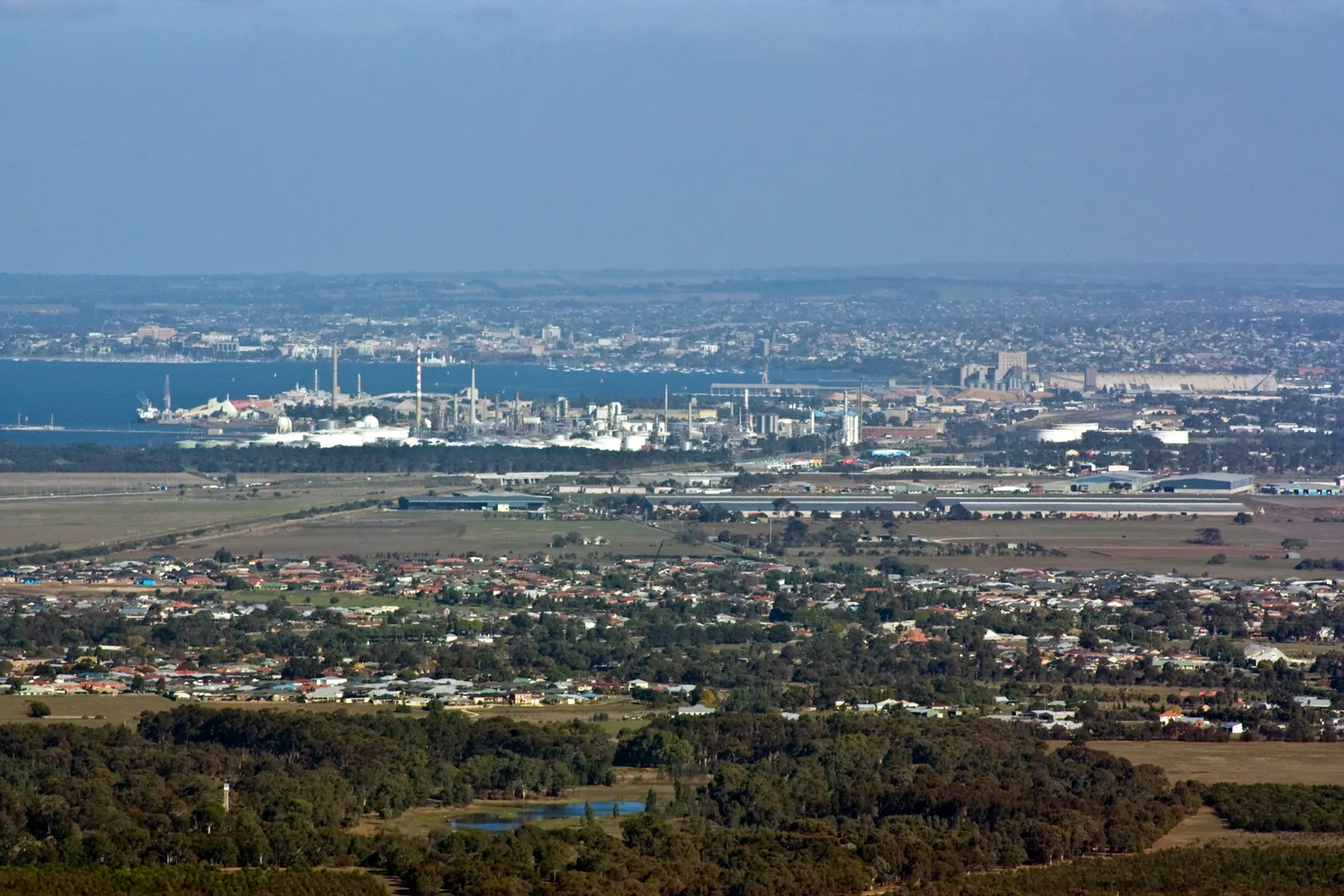
The view's worth it. On a clear day you can see across Corio Bay to Geelong and the Bellarine, around Port Phillip to Melbourne's skyline, and over the plains to the west. Matthew Flinders and three of his crew climbed it on 1 May 1802, the first Europeans to do so. He called it Station Peak, and it was later renamed after him.
Wear shoes with some grip and take water. On a hot summer day, go early.
Bunjil, Big Rock and the rest of the park
On the way up Flinders Peak, look out over the plain for Bunjil. It's a huge rock outline of the creator figure, shown as a wedge-tailed eagle, laid out on the ground by artist Andrew Rogers for the 2006 Commonwealth Games. It has a 100-metre wingspan and used about 1,500 tonnes of rock. The Flinders Peak track is the best place to see it from, and there's a day visitor area beside it too.
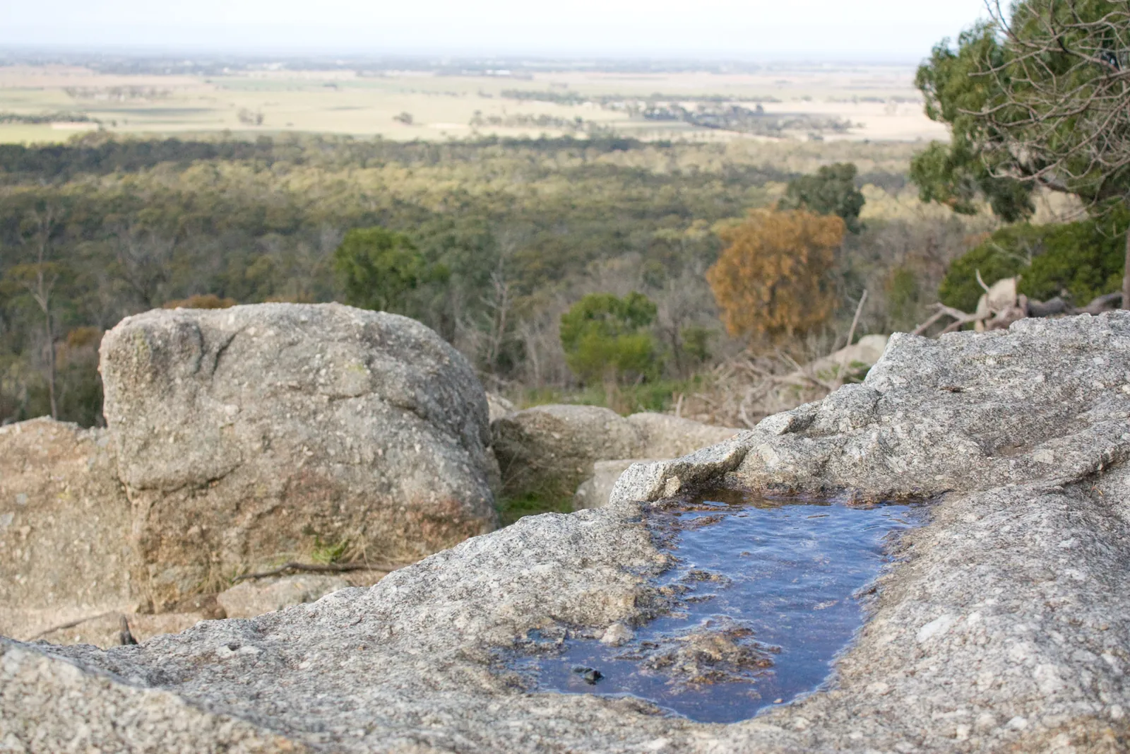
Big Rock is the other easy outing: a granite outcrop with wide views, a picnic area and a short walk. It's also the best place to see the rock wells the Yawangi balug people made in the granite to store water, because there was so little natural water out here. There's also a loop walk from the visitor centre. The whole park is on Wadawurrung Country.
The You Yangs are also a big mountain-biking spot, with more than 50 km of trails in the Kurrajong and Stockyards areas. Our mountain biking guide has the detail if you're bringing bikes.
A longer loop
If an hour on the steps isn't enough, the East-West Walk circles the slopes of Flinders Peak from the Turntable car park. Parks Victoria's park note puts it at 4.5 km, and it takes about two hours. Most people do it clockwise: out on the East Walk, which goes up and down with some short steep bits and a bit of scrambling over granite, then back on the West Walk. You pass Bunjil on the way, with big views over the volcanic plains to the west.
You can add the climb to the top as a side trip, which makes it a solid half-day. Take more water than you think you'll need, and a snack for the summit.
Koalas and other wildlife
Koalas are commonly seen here, so keep looking up into the gums as you walk. You might also see kangaroos, wallabies, echidnas and lizards, and more than 200 bird species have been recorded in the park. Keep your distance from all wildlife, and don't touch any sick or dead birds.
Picnics and practical bits
Picnics
There are nine picnic areas around the park. Campfires are only allowed in the fireplaces provided, with water on hand to put them out, and you can't collect firewood. Bring your own, and check for total fire bans on hot days.
Dogs
Welcome on a lead. Pick up after them and take the bags home.
Pair it with Serendip
Serendip Sanctuary is at the foot of the range, a few minutes away. Do the peak first thing, then the wetlands. Serendip doesn't allow dogs, though, so if the dog's with you, the You Yangs is the stop.
You Yangs FAQ
How far are the You Yangs from Torquay?
About 50 minutes and 45 km from north Torquay, via the Geelong Ring Road and the Princes Freeway to Lara.
How long is the Flinders Peak walk?
About 3.2 km return from the Turntable car park, with around 450 steps. Allow an hour.
Can I take my dog?
Yes, on a lead.
Will I see koalas?
There's a good chance. Parks Victoria says they're commonly seen. Look up into the gums along the tracks.
Where can I see the Bunjil geoglyph?
From the Flinders Peak track, looking out over the plain. There's also a Bunjil day visitor area.
Is there a longer walk?
Yes. The East-West Walk loops around Flinders Peak from the Turntable car park, about 4.5 km and two hours, past the Bunjil geoglyph.
What are the opening hours?
From 7am, with the gates closing at 8pm during daylight saving. Check Parks Victoria for winter hours.
The wetlands next door are in our Serendip Sanctuary guide, and the trails are in mountain biking near Torquay. Geelong's on the way home, so see the Geelong waterfront guide, and for more dog-friendly days out, dog-friendly Torquay. To stay with the dog, check dates and send an enquiry.
Sources
Facts on this page were checked against these sources on 19 October 2026. Opening hours, patrols, rules and closures change — check with the source before you go.
- You Yangs Regional Park — Parks Victoria
- Flinders Peak (Wurdi Youang) walk — Walking Maps
- East-West Walk — Bushwalking Victoria
- You Yangs East-West Walk — Melbourne Playgrounds
- You Yangs — Wikipedia